Problems We Solve
Practical UAV services designed around real commercial needs.
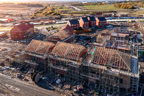
Construction Progress Tracking
Track site progress with repeatable aerial imagery and video. Improve reporting, stakeholder communication and project visibility.
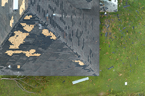
Roof & Asset Inspections
Capture high-resolution imagery of roofs, facades and difficult-to-access structures without scaffolding or disruption.
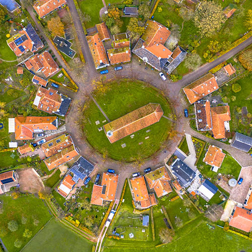
Orthomosaic Mapping
Generate detailed stitched aerial maps for planning, surveying, documentation and analysis workflows.

Aerial Marketing Content
Create premium drone photography and cinematic video for developments, estates, hospitality and commercial brands.
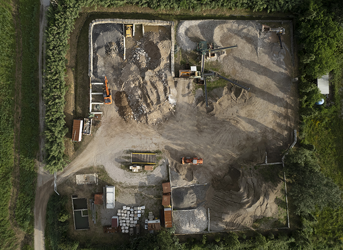
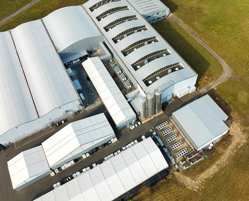
Industrial Surveys
Inspect industrial yards, infrastructure and large commercial sites quickly with minimal operational interruption.
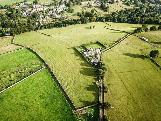
Property & Estate Imaging
Professional aerial imagery for estate agents, landowners and developers looking to present sites clearly and professionally.
Why UAVUE?
Professional aerial solutions with an engineering mindset and cinematic precision.
UAVUE combines technical aerial operations with years of filmmaking and visual production experience to deliver drone solutions that are both practical and visually exceptional.
Founded by a pilot with an aeronautical engineering background and a PPL(H) helicopter licence, UAVUE approaches every project with a strong understanding of aviation, safety, precision and spatial awareness.
Alongside technical capability, years of experience in filmmaking and visual storytelling bring a creative edge to every deliverable — whether capturing construction progress, inspecting critical assets or producing cinematic marketing content.
The result is a service that combines engineering accuracy with premium visual execution for construction, property and industrial clients.
How We Work
- Initial consultation and project requirements
- Flight planning and safety assessment
- On-site aerial capture
- Delivery of imagery, mapping or video outputs
Why Clients Choose Us
- CAA compliant UAV operations
- High-resolution aerial imagery
- Fast turnaround times
- Fully insured operations
- Cost-effective alternative to traditional access methods
100+
Flights Completed
24hr
Typical Turnaround
0
Scaffolding Required
100%
Fully Insured Operations
Client Results
“We needed regular aerial updates for a residential development without constantly arranging site visits. UAVUE provided clear progress imagery every two weeks that made reporting to investors and stakeholders much easier.”
Mark T. — Residential Developer, Surrey“The drone inspection picked up damaged roof sections we hadn’t been able to assess safely from ground level. The imagery was detailed, turnaround was quick and it saved us the cost of immediate scaffolding.”
James R. — Commercial Property Manager“Aerial footage gave our marketing a completely different level of quality. Being able to show the property in context from above helped generate far more engagement online.”
Sarah L. — Estate Marketing ConsultantNeed aerial insight for your project?
Get in touch to discuss inspections, mapping, construction progress tracking or cinematic aerial content.
Contact UAVUE